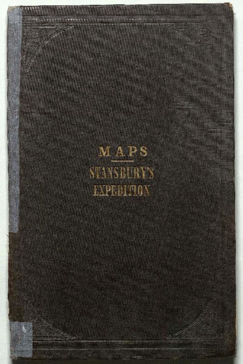
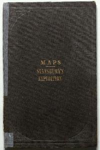
Stansbury's expedition maps. [material cartográfico] :
Descripción Física
2 mapas : color ; 75 x 1075 cm y 1675 x 700 cm, plegable a 24 x 16 cm.
Notas
General
Título tomado de la cubierta.
Posee timbre de la Biblioteca del Instituto Nacional.
Contenido formateado
Map of the Great Salt Lake and adjacent country in the territory of Utah, surveyed 1849 and 1850 (Escala: 1:240.000) / under the orders of Col. J.J. Abert, Chief of Topographical Bureau by Capt. Howard Stansbury of the Corps of Topographical Engineers, aided by Lieut J.W. Gunnison Corps Topographical Engineers, and Albert Carrington Map of a reconnoissance between Fort Leavenworth on the Missouri River, and the Great Salt Lake in the territory of Utah, made in 1849 and 1850 (Escala: 1:1.000.000) / under the orders of Col. J.J. Abert, Chief of Topographical Bureau by Capt. Howard Stansbury of the Corps of Topographical Engineers, aided by J.W. Gunnison Corps Topographical Engineers, and Albert Carrington
Forma física adicional disponible
Disponible en formato digital.
Reproducción
Reproducción electrónica. Santiago, Chile : Biblioteca Nacional de Chile, Laboratorio Digital, 2018. Objeto digital: MP0006526
Términos de uso y reproducción
Acceso en línea (dominio público) sin restricción de reproducción.
Referencia Bibliográfica
Stansbury's expedition maps. [material cartográfico] : [New York] : [Corps of Topographical Engineers], [entre 1849 y 1850?] 2 mapas : color ; 75 x 1075 cm y 1675 x 700 cm, plegable a 24 x 16 cm. .
Clasificaciones
Colección: Mapoteca / Colección General
Materias: Mapas - Gran Lago Salado (Utah, Estados Unidos) - Utah (Estados Unidos)
Tipo de objeto: Material cartográfico
Año: 1849
Datos de publicación: [New York] : [Corps of Topographical Engineers], [entre 1849 y 1850?]
Tipo de acceso: Acceso en línea
BN Código: MP0006526
N° Sistema: 1008194
BND id: 580756